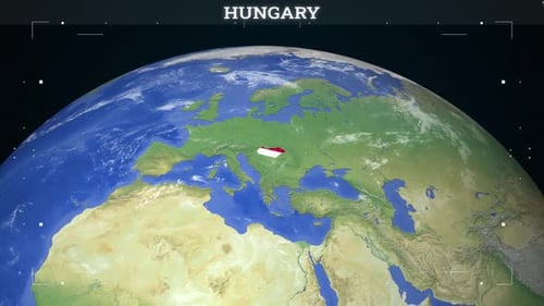
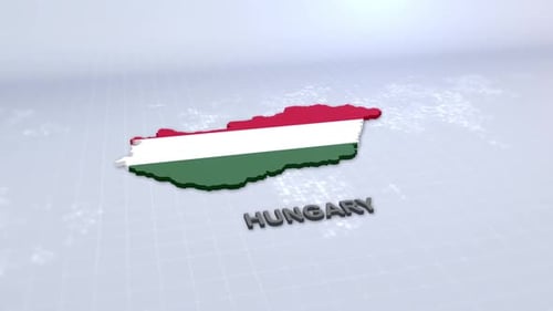
Dynamic Earth Zoom to Hungary Map with Country Outline Reveal
By RevLine3DOne great value subscription from $16.50/month
- Unlimited downloads of 27+ million creative assets
- AI Tools: video, image and more
- Lifetime commercial license
- Easy cancellation
Already have an account? Sign in
Attributes
- Length
- 0:10
- Resolution
- 1920 x 1080
- File Size
- 12.5 MB
- Frame Rate
- 25 fps
- Alpha Channel
- No
- Looped
- No
- Video Encoding
- H.264
- Orientation
- Horizontal
- Commercial License
- Further Information
Description
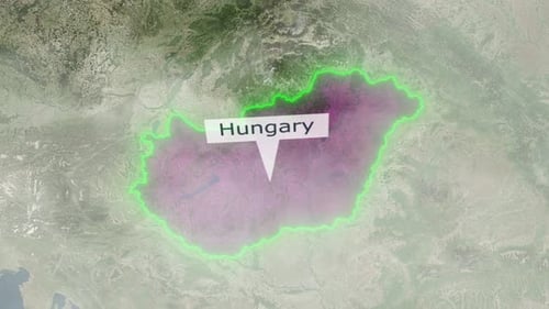
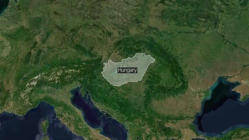
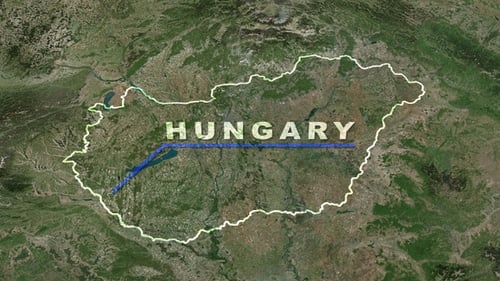
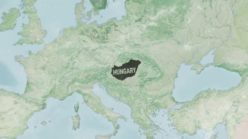
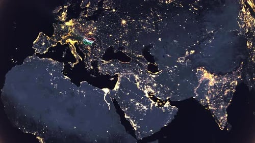
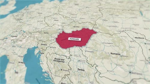
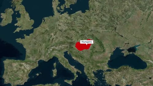
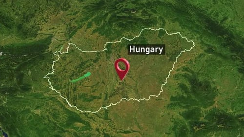
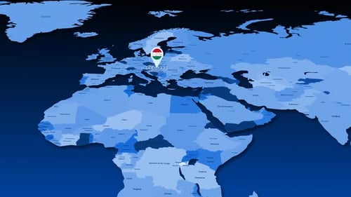
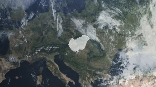
This animation presents a dynamic journey from outer space, showcasing the Earth with illuminated city lights before a smooth, precise zoom transitions to a detailed satellite view of Hungary. A vibrant, animated outline traces the country's borders, followed by the bold reveal of the word 'HUNGARY.' The visual is clean and modern, ideal for geographical presentations, travel vlogs, educational content, or corporate videos that require a global to regional focus. It offers a professional and engaging way to highlight specific locations or introduce a segment about a particular country.